Wet Weather Expected To Continue For Foreseeable Future
To say 2019’s weather has been all over the map may be an understatement. After starting the year with a dry and warm January, we saw record snowfall in February. That was following by an extremely dry March. And as Marilyn Lohmann, National Weather Service meteorologist points out, April continues the up and down pattern.
“We saw a big swath from west of the Cascades over all the way up into Northeast Washington and across eastern Oregon with maybe 200%-400% of normal. So, well above normal rainfall especially for this time of year and a very unusual system that brought it with that kind of plum of subtropical and very warm moisture.”
Lohmann said the recent rain showers have been accompanied by warm temperatures, keeping the snow level at 5,000’. However, she said the rain showers expected for the Northwest later this week and into next will bring in some cooler temperatures. And like everything else with this year’s weather, it’s both good and bad.
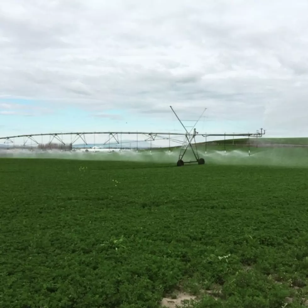
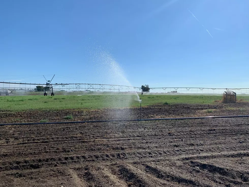
“The cooler temperatures are good because that will help keep that mountain snowpack where we need it to be a little bit longer. But not so good for getting crops to germinate.”
Lohmann anticipates showers to move across the area Thursday into the weekend.
If you have a story idea for the Washington Ag Network, call (509) 547-1618, or e-mail gvaagen@cherrycreekradio.com
More From PNW Ag Network