
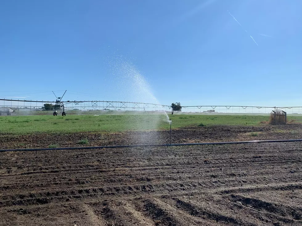
Warmer Weather Expected For The Start of Summer
Spring has been very unique across the Pacific Northwest, it started very mild and dry back March 20th. However, by the time mid-April rolled around, the region saw snow showers, with some areas seeing up to 18” of the white stuff and cold temperatures. And those cooler temperatures and showery conditions continued into May and now early June.
Ed Townsend, meteorologist with the National Weather Service says you can blame much of the recent rain and winds on an Atmospheric River parked right over the Pacific Northwest. He said it’s unique how long this River has been in place, especially for the month of June.
“It’s pretty atypical to see one this time of the year. Usually, when we think of these giant plumes of moisture coming into the Pacific Northwest, we’re thinking winter and spring.”
And while all three states have been very wet for several weeks, Townsend noted warmer weather is coming.
“It definitely looks like we’re going to see a return to more seasonable temperatures, once we get into early next week.”
Just in time for the official start of summer, which is June 21st.
If you have a story idea for the PNW Ag Network, call (509) 547-1618, or e-mail gvaagen@cherrycreekmedia.com
More From PNW Ag Network


