Large Systems Expected For Northwest This Weekend
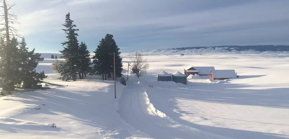
The past couple of days have been dry for much of the Inland Northwest, and of regions like Yakima and the Tri-Cities, the dryer weather has been welcomed relief. Marilyn Lohman, meteorologist with the National Weather Service, says after a week plus of system after system rolling into the area, many communities are near or have passed record snow amounts for February. And while February snow totals have been great, December and January were very dry, balancing things out for the water year, but not everywhere has seen large snow totals.
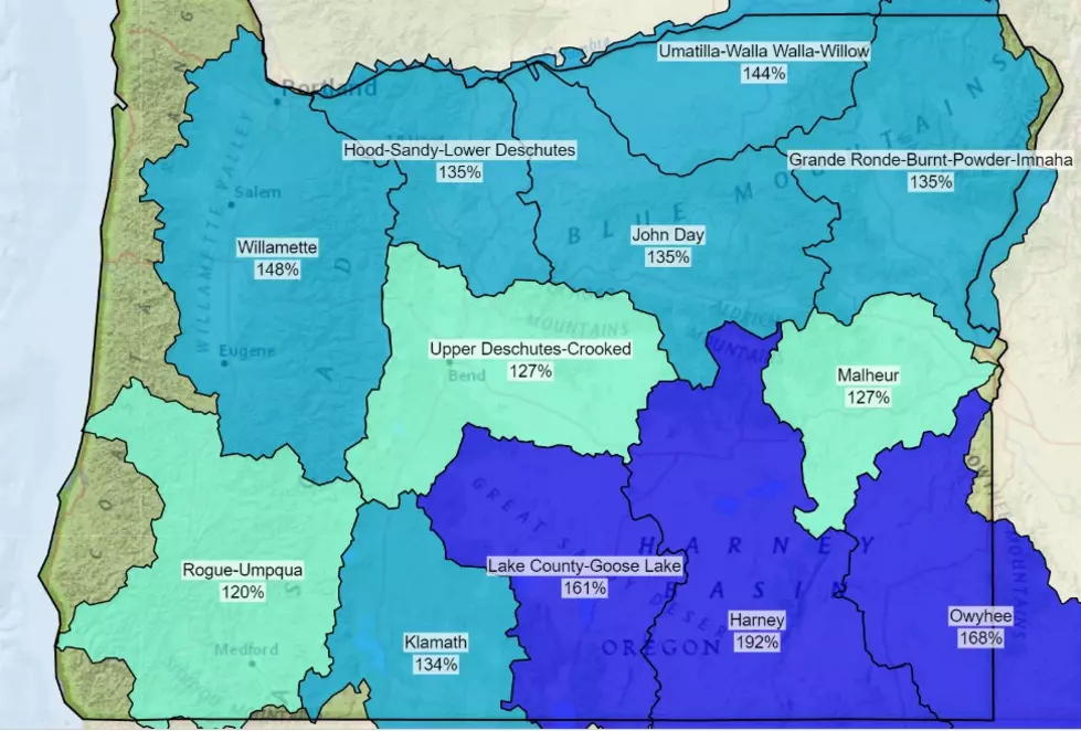
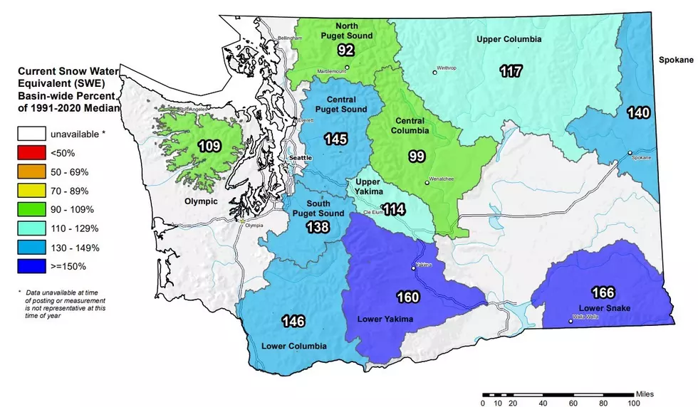
“North Central Washington continues to be a little bit below normal, overall with precipitation. The series of storms that we saw over the month of February have kind of not produced really well for that area.”
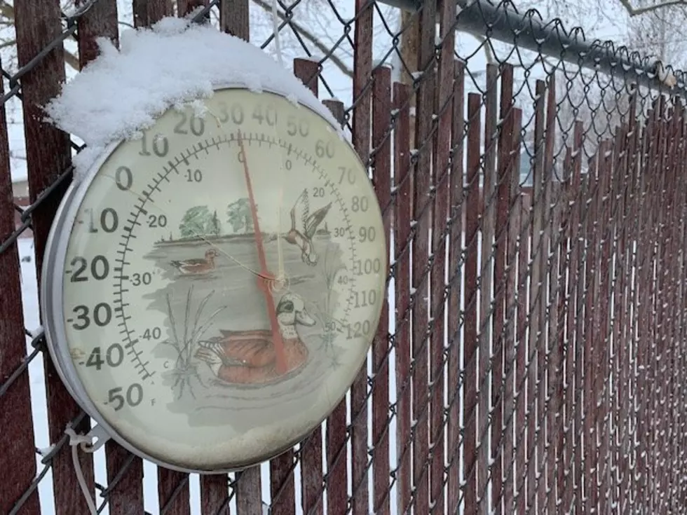
Lohmann says large system should roll into the area this weekend, bringing the opportunity for additional snow showers, especially in the higher elevations. She added the below normal temperatures we’ve seen for the past week-plus will continue into early March.
“But there is some moderation in that, that it’s not the extremely below normal temperatures, its more somewhat below normal.”
If you have a story idea for the Washington Ag Network, call (509) 547-1618, or e-mail gvaagen@cherrycreekradio.com
More From PNW Ag Network