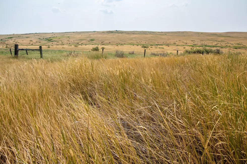
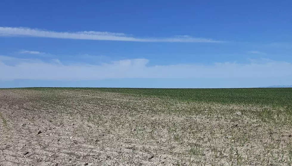
La Niña Continues To Develop In Pacific

The National Weather Service recently released its El Niño/La Niña forecast for the upcoming winter, and according to meteorologist Marilyn Lohmann, Pacific temperatures off the coast of South America are slowly dropping, meaning a La Niña is developing. What does that mean for the Northwest this winter?
Lohmann said many think a La Niña pattern guarantees a lot of snow, but if you look at the last six patterns, only one, the winter of 2016-17, turned out to be a snow producer.
“A lot of the area had anywhere between 30”-50” of snow throughout that winter time. It didn’t seem like it was ever going to end. It’s still etched in my mind quite well.”
She noted the other five winters may have had slightly above normal snow totals, but nothing of note. With La Niña likely developing, how long will we be in the wetter than normal, colder than normal pattern? Lohmann said right now, it’s hard to say.
“We do have some that last only 6-8 months. The one that appears for 2016-17 actually lasted all the way through the winter of 2017-18. So, it can be a whole year in a La Niña or El Niño pattern.”
In the more immediate, Lohmann said we’ll see a cold front roll into the Northwest in the coming days, dropping temperatures, with overnight lows in the 40’s a possibility. She added unfortunately this front looks to be relatively dry.
If you have a story idea for the PNW Ag Network, call (509) 547-1618, or e-mail gvaagen@cherrycreekmedia.com
More From PNW Ag Network