Cooler Wetter Weather Returns To the Northwest
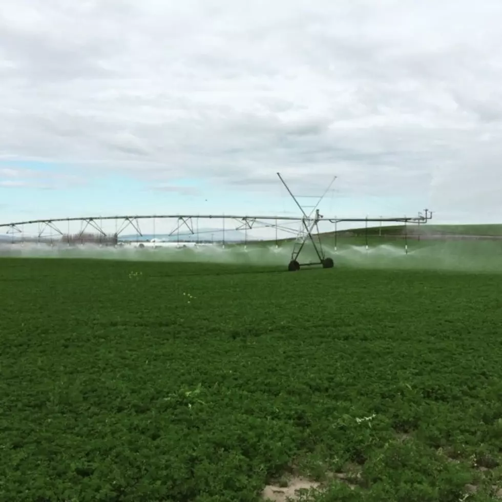
For the past week, the Inland Northwest has enjoyed warm temperatures and ample amounts of sunshine, allowing for a lot of field work to take place. But, it appears the sunshine and will be moving out of the region.
"Get ready for a change to wetter and cooler for quite a few days now, we’re looking at a cold front bringing showery weather Thursday, all the way into the middle of next week,” said Dennis Hull, meteorologist with the National Weather Service.
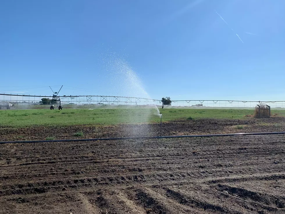
Hull added some models have those showers lingering until late next week. Hull noted while outdoor lovers would like to see the warmer, sunny weather, they cloudy, cooler weather is closer to average for this time of year. He added while it has not been tapped too much at this point, this cool spell will help preserve irrigation water.
“We should see the crop water use drop off to between 1” and 1.25”, so not quite as much water needs of course with the clouds and higher humidity.”
Hull also pointed out how different this spring is compared to 2016. He said this time last year, many alfalfa growers were putting down their first cut of the year.
If you have a story idea for the Washington Ag Network, call (509) 547-1618, or e-mail gvaagen@cherrycreekradio.com
More From PNW Ag Network