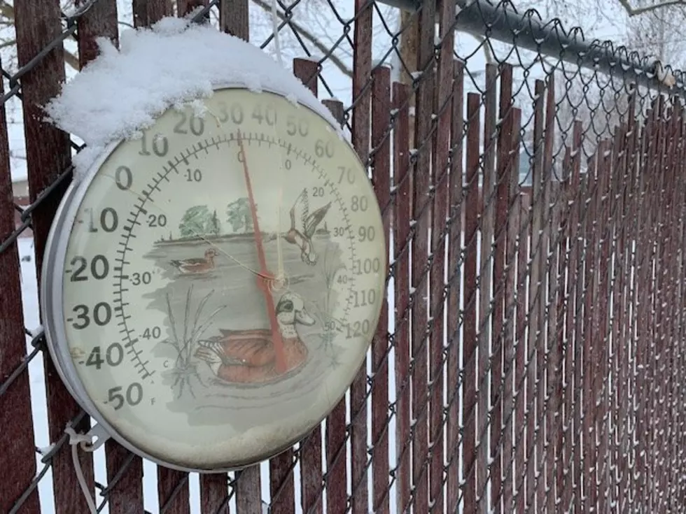
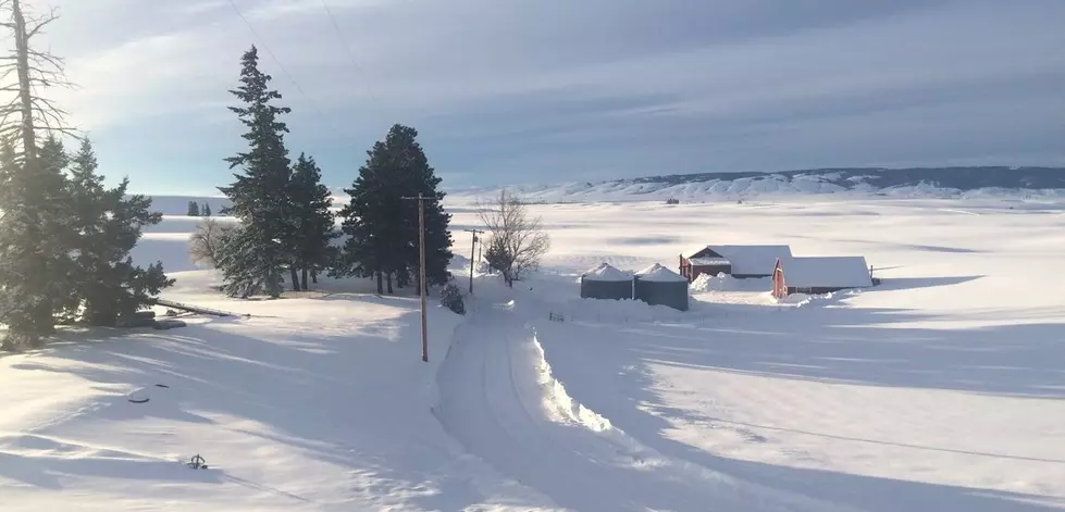
Colder, Sunny Weather Expected in Coming Days
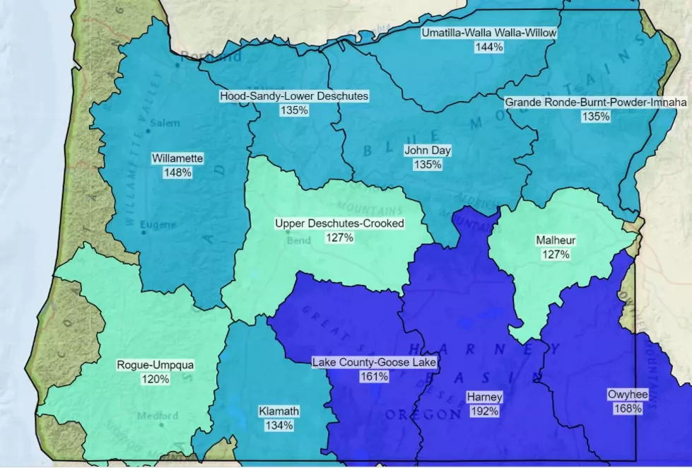
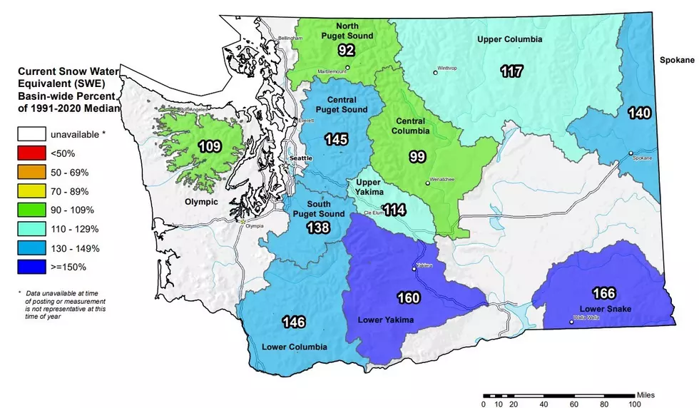
After the most recent band of snow showers, the Inland Northwest will see temperatures drop under sunny skies. But before you worry, National Weather Service meteorologist Dennis Hull said temperatures will not be as cold as what we saw just a few weeks ago. Hull told the Washington Ag Network this winter, which has been one of the snowiest for multiple locations, is good news not only for the snowpack, by the fields, once spring hits.
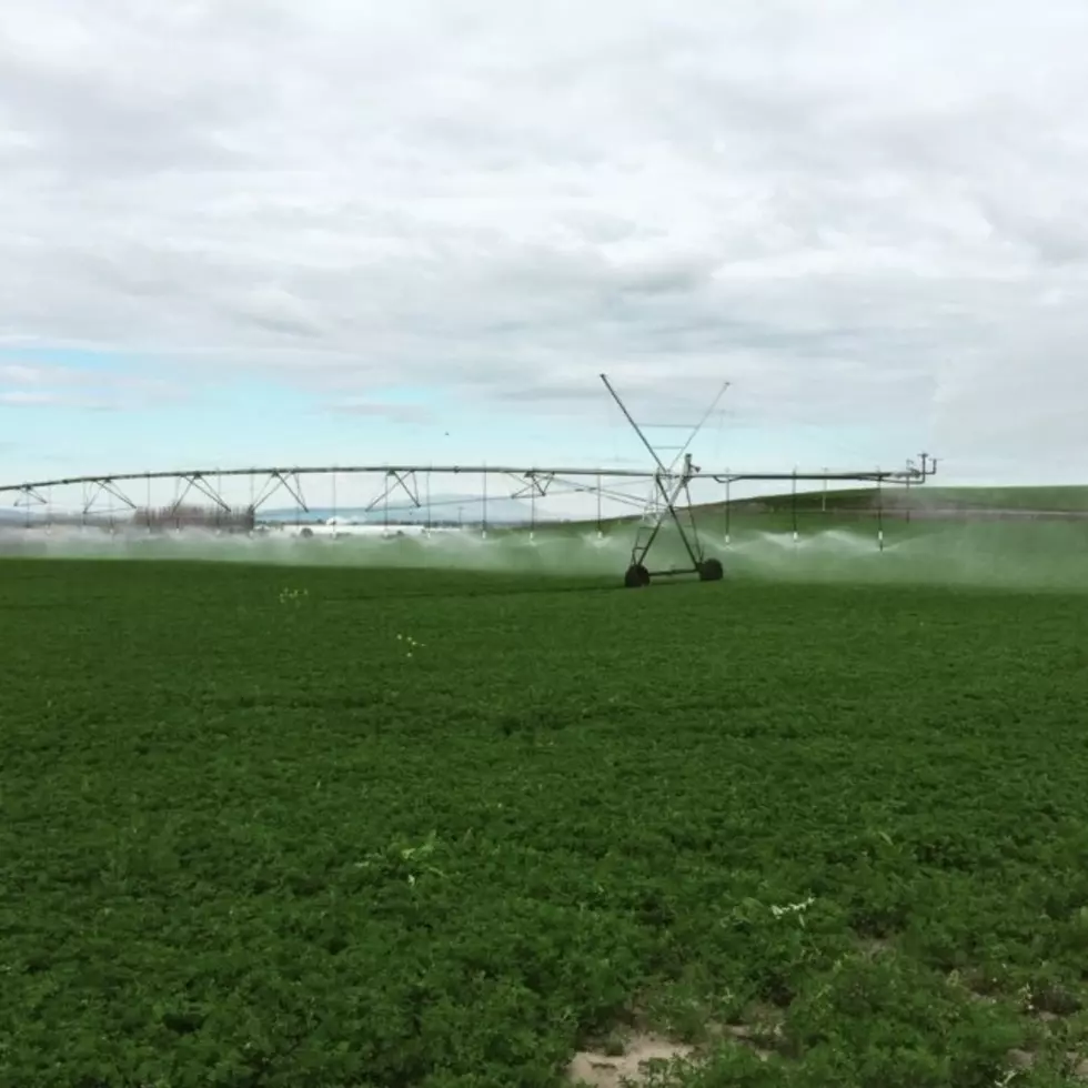
“Once things start growing they should have a good initial start, as far as having soil moisture to work with. It might take a little while to get back into the fields, once we get rid of the snow, because of the muddy fields.”
Speaking of spring, Hull says while spring won’t start for another six weeks, we should see temperatures increase in the next couple of weeks. He says additional daylight will help impact area temperatures.
“In face, once we get into the middle part of February, most of the time our normal temperatures, our overnight lows are going to stay above freezing.”
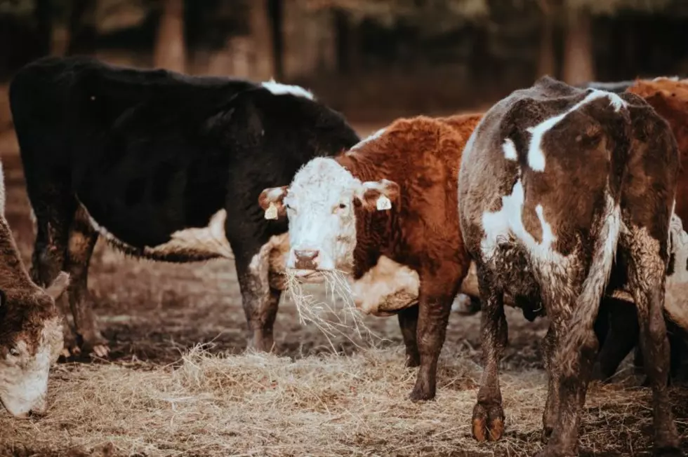
In the coming days Hull expects additional precipitation to roll into the area Friday into the weekend, which will start as snow and transition to rain. He said that could increase the amount of cold stress livestock will face.
If you have a story idea for the Washington Ag Network, call (509) 547-1618, or e-mail gvaagen@cherrycreekradio.com
More From PNW Ag Network