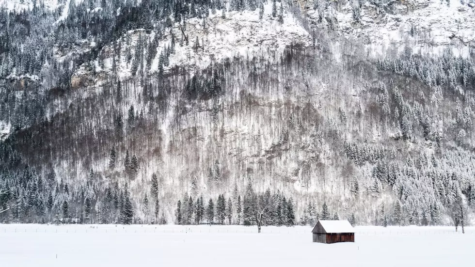
Cold Weather Expected To Stick Around Through The End Of Winter
After a winter that was ho-hum for much of the area, the past couple of weeks have seen several records fall. Marilyn Lohmann meteorologist with the National Weather Service said many communities across the Inland Northwest reported the snowiest, or one of the snowiest Februarys on record. And with cold temperatures rolling in behind those snow showers, many area saw record cold temps to start March. And Lohmann noted, it wasn’t just the overnight temperatures that set records.
“Of course those cold overnight lows are of interest, but to me it’s more interesting to note that the high temperature have been even colder than our normal low temperatures for this time of year. Overall, over the last couple of days, temperatures have been 20 to 30 degrees below normal.”
In addition to the temperatures records, many locals report record snow depth for this time of year. How does this winter compared to the last snow maker that rolled into the Northwest? Lohmann said this is year is very different from 2016-17.
“Even though we had such a long, snowy winter, early March had already seen much of the area, at least the southern part of the Columbia Basin free of snow cover at this time. The mountains still had an extremely large snowpack.”
Lohman said after a few snow showers roll through the area Wednesday and Thursday, the cold clear weather will return, and run up to the first day of Spring, March 20th.
If you have a story idea for the Washington Ag Network, call (509) 547-1618, or e-mail gvaagen@cherrycreekradio.com
More From PNW Ag Network