NRCS: April Was Not Kind To Washington’s Water Supply
Washington’s water outlook is worsening as the state heads toward summer.
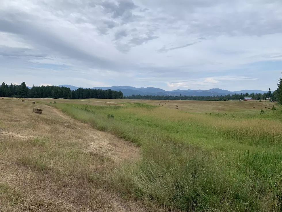
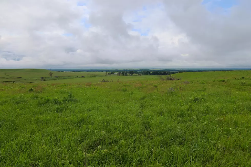
New numbers released by NRCS Monday show statewide mountain snowpack at just 42% of normal, down from April and well below average across every river basin. The Upper Yakima Basin is the hardest hit at only 16% of normal as of May 1st. The Olympic Peninsula and Lower Snake-Walla Walla basins are also critically low.

Despite near-normal precipitation overall this water year, officials say warm temperatures and low spring rainfall have created an ongoing snow drought across Washington and the western United States. That means reduced runoff and below-normal streamflows are expected through late spring and early summer.

NRCS added several mountain monitoring sites have already recorded record-low snowpack levels.
Reservoir storage remains near normal for now, thanks to early runoff capture, but water managers warn additional rainfall will be needed through May to help maintain streamflows during peak summer demand.


For details on soil moisture conditions. streamflows and the 30 day forecast, Click Here to check out the entire Washington Water Supply Outlook Report from NRCS.
If you have a story idea for the PNW Ag Network, call (509) 547-9791, or e-mail glenn.vaagen@townsquaremedia.com
More From PNW Ag Network