Satellite to Help Pinpoint Crop Data
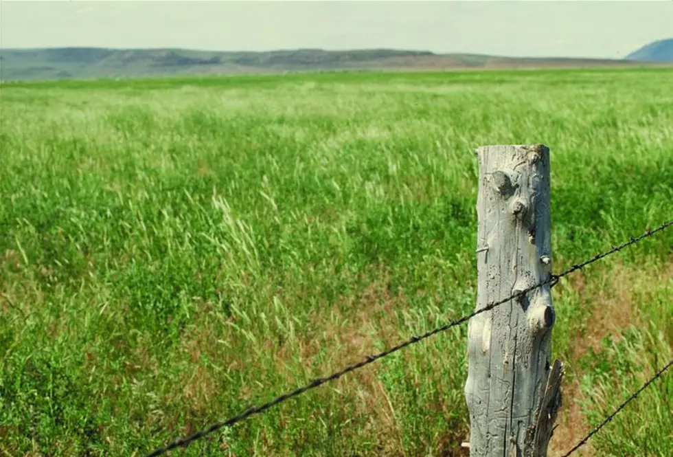
Researchers are working on refining the use of satellites to determine crop data such as yields and condition around the world.
USDA Meteorologist Brad Rippey said this method has been around for a while now.
“Initially it was very crude and the resolution was not good but we continue to see more satellites and better resolution.”
These new tools are being used on fields in Western Kenya.
Rippey said it’s important to understand that satellite images aren’t perfect.
“There are cases where you can have a good canopy but the yield might be reduced by something such as a heat wave and the absence of drought. In other words, you might still have a fairly green crop but because of the timing of a heat wave the corn ears don’t fill out properly.”
That’s why Rippey said that satellite imagery should just be one part that includes weather data and other technology with the satellite data for a more complete picture.
More From PNW Ag Network