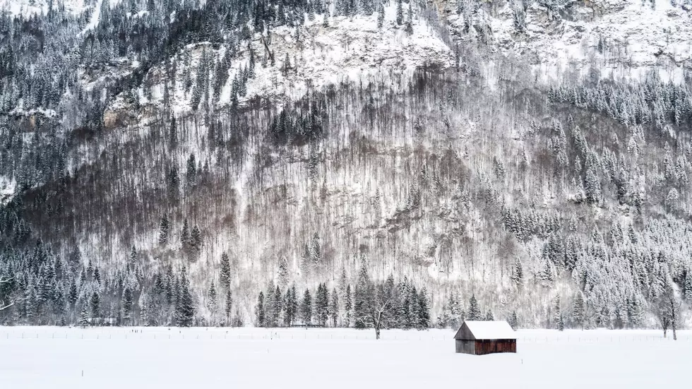
Recent Snow Expected To Melt Soon
After two weeks of intense cold and substantial snow totals, it’s looks like mild weather will return to the Northwest in the coming days. Marilyn Lohmann, meteorologist with the National Weather Service, said the weekend snow storms were the result of artic air moving over from the Rockies, mixing with several systems rolling in from the Pacific. Lohmann noted snow totals vary from 7” to 14” with some locations recording 20” and more.
But if you’re not a fan of the snow, don’t worry.
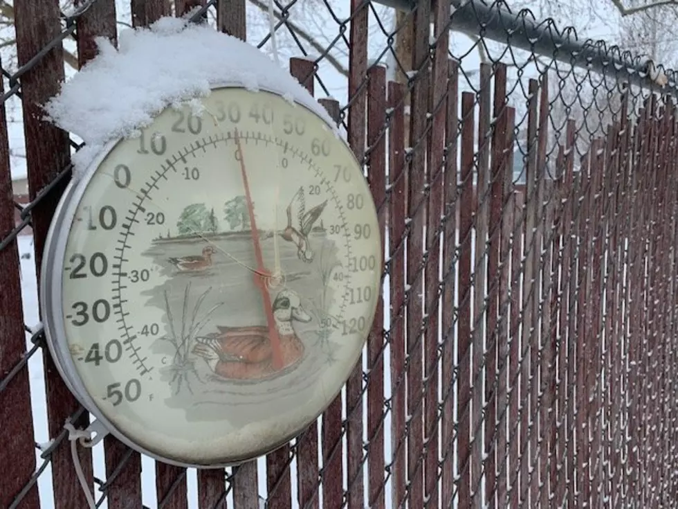
Lohmann anticipates temperatures warming into the 40s and even 50s over the next week.
“With those kind of temperatures, it won’t be long until that snowpack is gone, and the roadside ditches are going to run full. There may be some troubles with some storm drains and things like that. So, just a little bit of caution there, for people that live in an area that kind of gets that lowland bogy flooding from melting snow, you’ll probably see that over the next few days.”
Lohmann noted while temperatures are warming, we could see another system roll into the area Thursday and Friday, brining snow in the mountains, and rain in the lower elevations.
If you have a story idea for the PNW Ag Network, call (509) 547-1618, or e-mail gvaagen@cherrycreekmedia.com
More From PNW Ag Network