Cool Active Weather Expected To Continue Into Mid-May
The region has seen quite a change from Mother Nature over the past couple of weeks, with cooler temperatures and stormy conditions. In fact the past 10 days or so, the PNW has seen storms roll in from the Pacific on average every 36 to 48 hours. Those storms improved Washington snowpack considerably, as well as area soil moisture numbers.
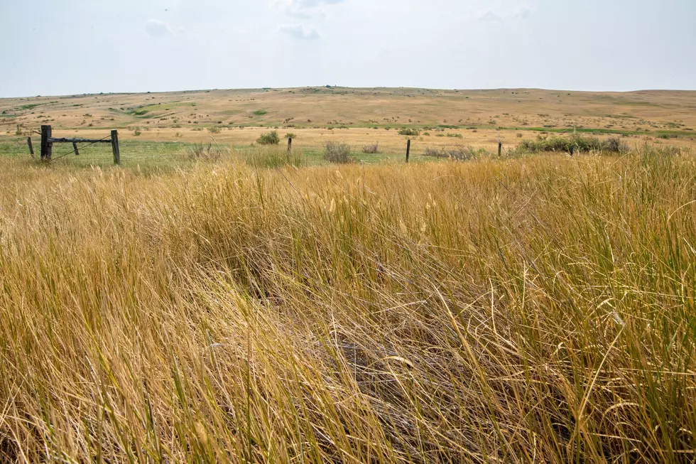
Marilyn Lohmann, meteorologist with the National Weather Service says roughly 68%-73% of topsoil between Oregon and Washington is currently classified as adequate, with some areas remaining short. When it comes to subsoil numbers, roughly 50%-70% is considered adequate. But, she noted while improvements have been made, concerns remain.
“Around 40%-45% of poor to very poor conditions being reported for the rangeland and pasture conditions. I think that’s a lot to do with the fact that even thought these systems have been hitting across the Columbia Basin, the foothills of the Blues, and the Palouse, SE Oregon and NE Washington are really getting skipped. It’s been an unusual pattern, and they have missed out on this really good precip.”
Lohmann said she expected this stormy, cool weather to continue for the first half of May.
“Then I think in the later half of the month, we’ll transition to some warmer and dryer conditions, hopefully, between those showery and cool days. Because I know, temperatures have been taking a beating lately.”
So, what roll has La Niña played in this weather pattern? Find out by listening to our entire Ag Weather In Depth podcast:
If you have a story idea for the PNW Ag Network, call (509) 547-1618, or e-mail gvaagen@cherrycreekmedia.com
More From PNW Ag Network