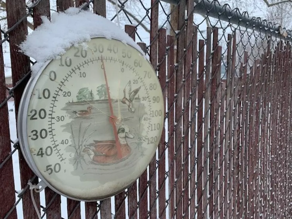
Cold Weather Continues Into Early March
March is known for coming in like a lion and leaving like a lamb. This year, it’s safe to say the month will come in with cold air. The late season weather pattern that has left many locations across the Northwest with record, or near record snowfall for February will continue into the new month. National Weather Service meteorologist Marilyn Lohmann said those that saw the biggest impact from the snow, fall south of I-90.
“In fact Ritzville, this was only their 7th snowiest winter, which is still something to be said, but then over at Spokane, it’s coming in as their 3rd [snowiest winter], so definitely not a record breaker like it is in the south and southeast portion of the state."
Lohmann said we’ll see a few snow storms to wrap up February, but things will dry out starting Friday. But, she noted the cold weather will stick around. Those that are tired of the winter weather should be very happy the start of Spring is just three weeks away.
“Usually about that 2nd to 3rd week of March really seems to be, no matter what kind of winter we’ve had a good change occurs at that time. And probably has a lot to do with the change in daylight. We’ll be gaining several minutes a day, and a lot more daylight to be had, and we do see more of those spring type storms roll in.”
Not only was February very snowy for much of the region, it was very cold. Lohmann said average temperatures were between six and ten degrees below average.
If you have a story idea for the Washington Ag Network, call (509) 547-1618, or e-mail gvaagen@cherrycreekradio.com
More From PNW Ag Network