After A Wild Week, June Wraps Up With Hot Weather
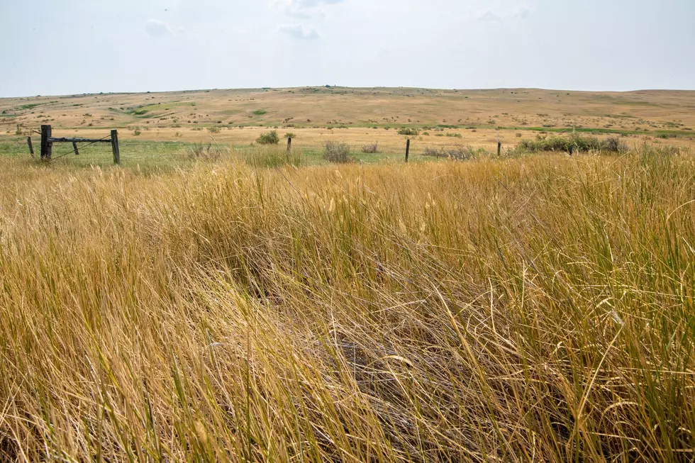
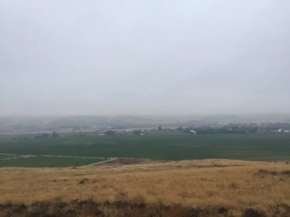
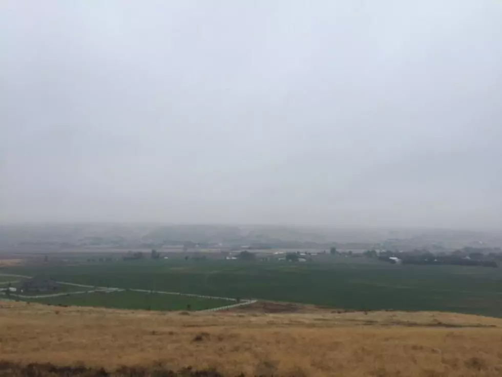
The final week of June started active across much of the Inland Northwest. Dennis Hull said thunderstorms reported in SE Washington and NE Oregon, were very hit and miss. But, where they hit, in the Tri-Cities for example, the storms dropped a lot of rain.
“Around an inch or so, but a lot of the agricultural rain gauges, the ones I saw mainly a ½” or less, so not nearly as much in those areas.”
If you’re expecting hot weather, you won’t be disappointed, thanks to a ridge of high pressure building in this weekend.
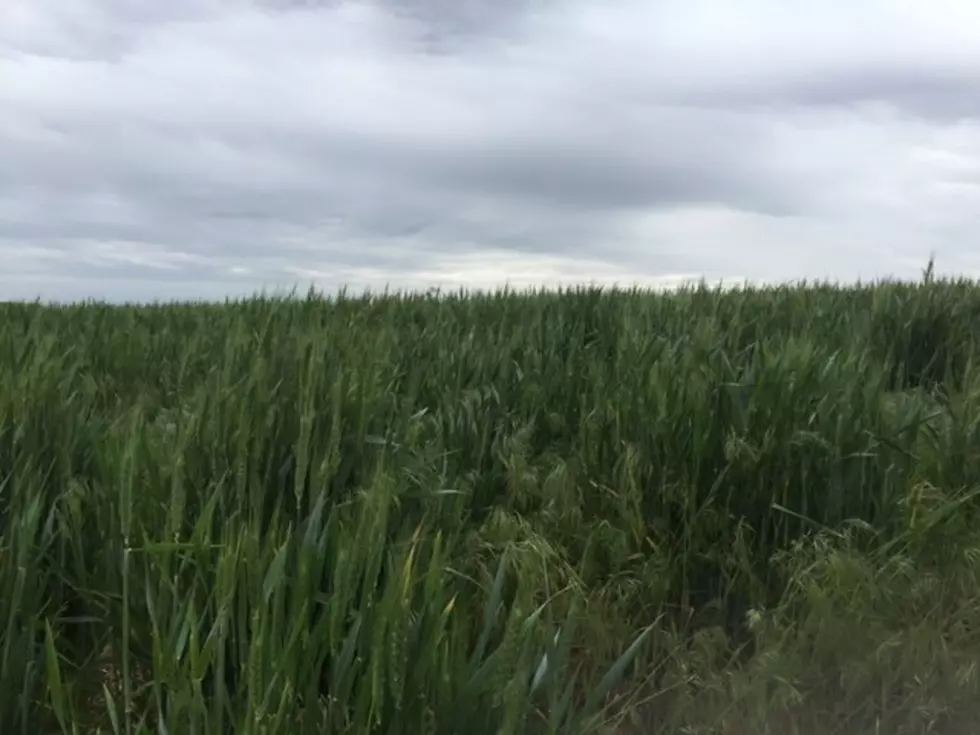
“So, temperatures getting back well up into the 90s. Above normal temperatures again, crop water use that was around 2.5”this past week and 2” for the lawn, it’s going to be the same for this coming week. This will be for the corn, spring grains and alfalfa.”
Hull said while the chance of isolated thunderstorms remain in the coming weeks, he does not see any sizable rainy systems in the our area forecast.
If you have a story idea for the Washington Ag Network, call (509) 547-1618, or e-mail gvaagen@cherrycreekradio.com
More From PNW Ag Network