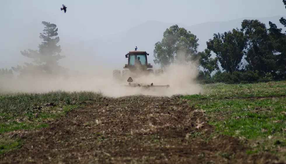
Washington Snowpack Dwindles During March
Thanks to a dry and very quiet March, the snowpack across Washington has dropped 10 points in the past month. On March 1st, the statewide pack sat at 90% of normal. As of Monday, the Washington snowpack was 80% of average for this time of year.
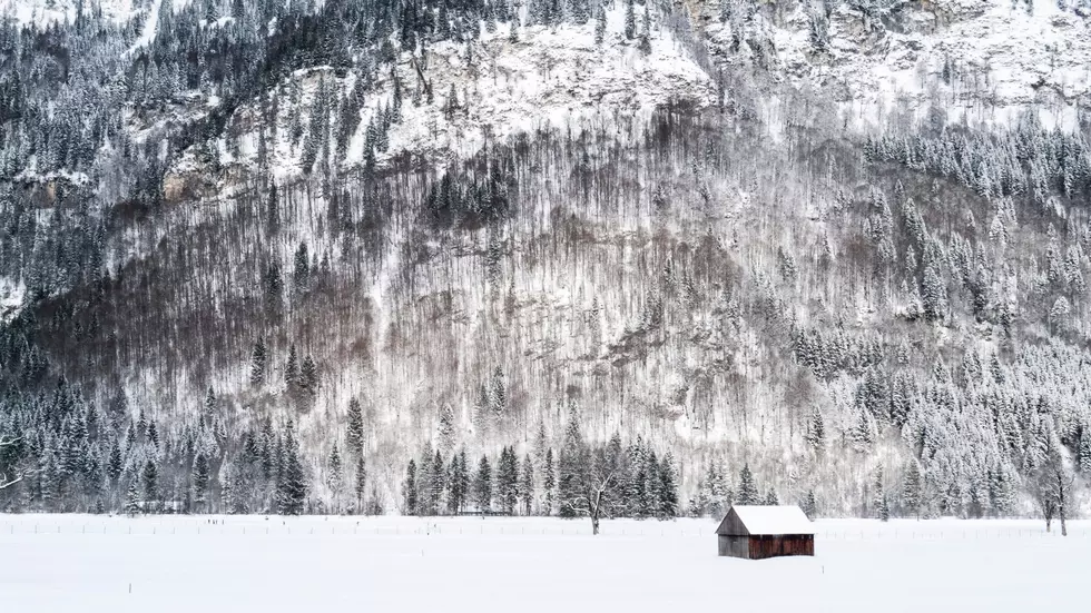
Scott Pattee with NRCS said blame it on a warm and dry March that saw little in the way of mountain snow showers. Could we see that snowpack improve in the coming weeks? Pattee said don’t count on it. He noted we don’t see a lot of snow this time of year, with the exception of the highest elevations.
“Now, we can get those occasional snow storms, even down at the mid-elevations, but what happens is after it quits snowing and the sun comes out, that fresh snow that’s laying on top of the old snow, usually just evaporates.”
When it comes to area basins:
- The Upper Columbia is at 74% of average
- The Central Columbia is at 74% of average
- The Spokane is at 81% of average
- The Upper Yakima sits at 74% of average
- The Lower Yakima is at 93% of average
- The Central Puget Sound sits at 65% of average (the lowest snowpack in the state)
Pattee noted it’s been an interesting snow year with a lot of ups and downs.
“We started late, and then we got a good shot in December, and then it really warmed up and dried out in January, then we got rain, but not snow, and then February was exciting again. And then we go into March and we certainly did not have a miracle March that we were hoping for,” Pattee added.
If you have a story idea for the Washington Ag Network, call (509) 547-1618, or e-mail gvaagen@cherrycreekradio.com
More From PNW Ag Network