Warm Weather Brings Rain, Takes Snow
The mild and at times wet weather hasn’t felt very November like for the Inland Northwest. In fact, Dennis Hull told the Washington Ag Network we’ve enjoyed a systems from the ocean bringing in above average temperatures and above average rain.
“This Pacific moisture has given us the wettest November since 2012, so above normal precipitation likely in most areas for the month of November.”
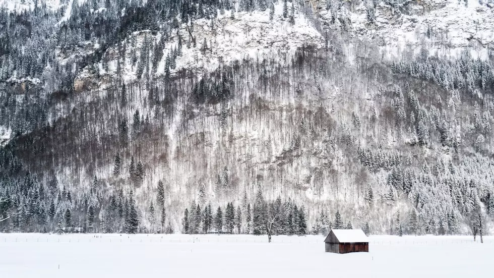
Hull said November is wrapping up very differently than how the month started. Early November, the region experienced cold temperatures which resulted in snow in the low elevations and a good start to the snowpack up high.
“Earlier this month, we had snowpacks in the Cascades well above 100%, but thanks to the warmer weather, snow accumulations have dwindled. We’ve had a lot of melting going on and now we’re down to only around 50%-100% of normal in the Washington Cascades, and less than 50% in the Blue Mountains. And we’re not really looking for enough snowfall in the mountains during the next 10 days to two weeks to catch up.”
Hull noted over the next two weeks, we could see wet conditions, but with temperatures above average, he’s not forcasting snow.
If you have a story idea for the Washington Ag Network, call (509) 547-1618, or e-mail gvaagen@cherrycreekradio.com
More From PNW Ag Network