Warm, Unstable Pattern Continues for Northwest
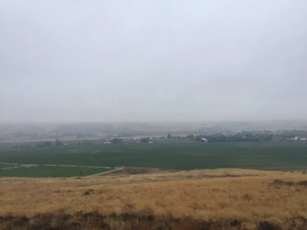
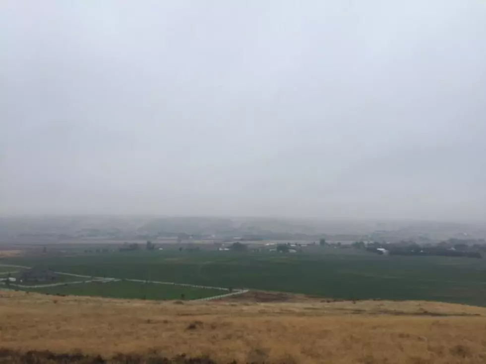
It's a weather pattern that's become familiar across the Northwest. Several days of above normal temperatures for much of the region, broken up by a few days of showers, typically falling on Wednesday and Thursday. National Weather Service meteorologist Marilyn Lohmann said the entire Northwest has been under a split flow pattern for several weeks.
"With an area of high pressure over Northwest Washington, and a low pressure over Nevada, and this allows those periods of very warm temperatures and then there will be a few showers, that are able to move through as the low kind of fluctuates a little bit north or south. We have had some very heavy rain in North Central Washington, where they didn't need it."
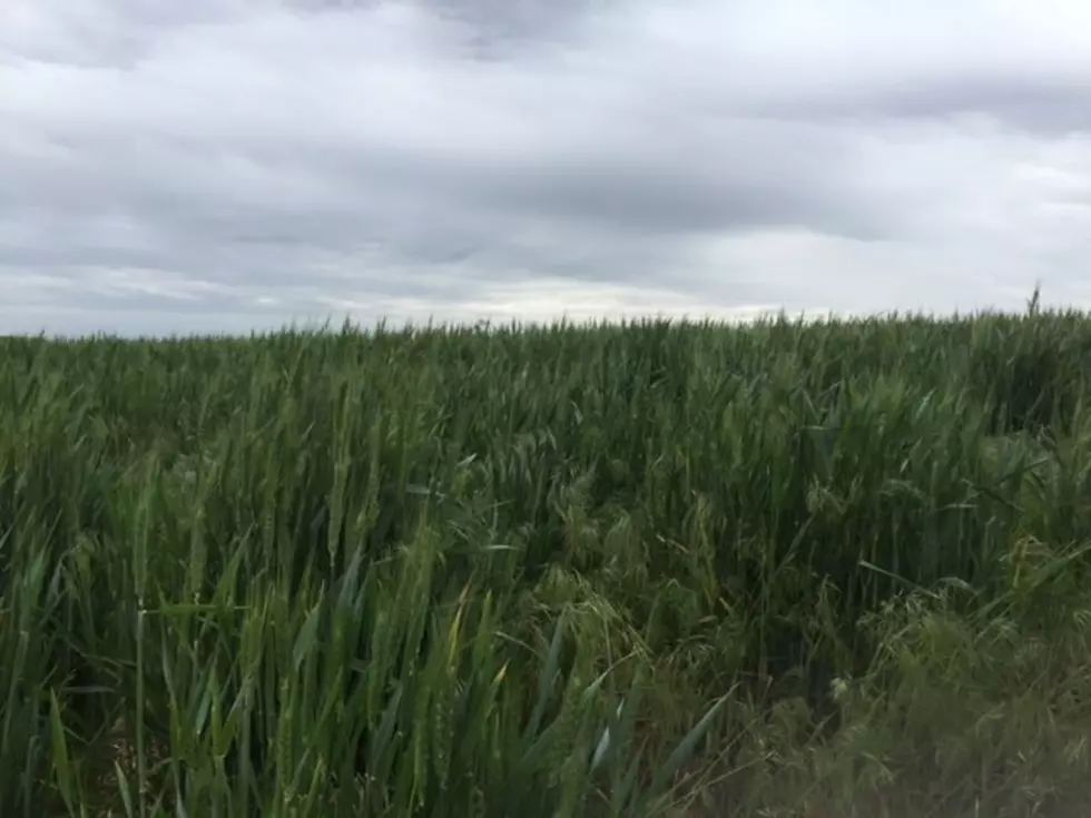
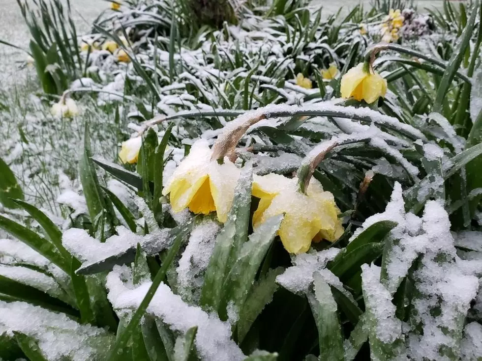
She said that's pushed area soil temperatures up considerably, which has helped with germination, but it has dried out some soil moisture readings. So, does that mean we need to start using the D-word?
"It's a little bit early to be talking about drought even though we do have below normal precipitation in that 30 day period, but the 60 day and 90 day precipitation amounts are still above normal."
Lohmann said we could see showers, and perhaps thunderstorms Wednesday and Thursday, but warmer, dryer and more stable weather returns to the region just in time for your holiday weekend.
If you have a story idea for the Washington Ag Network, call (509) 547-1618, or e-mail gvaagen@cherrycreekradio.com
More From PNW Ag Network