Warm, Dry Weather Expected To Continue
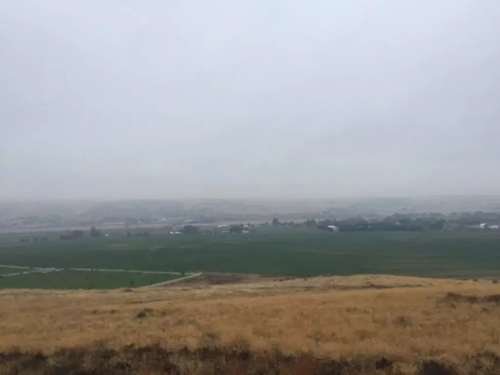
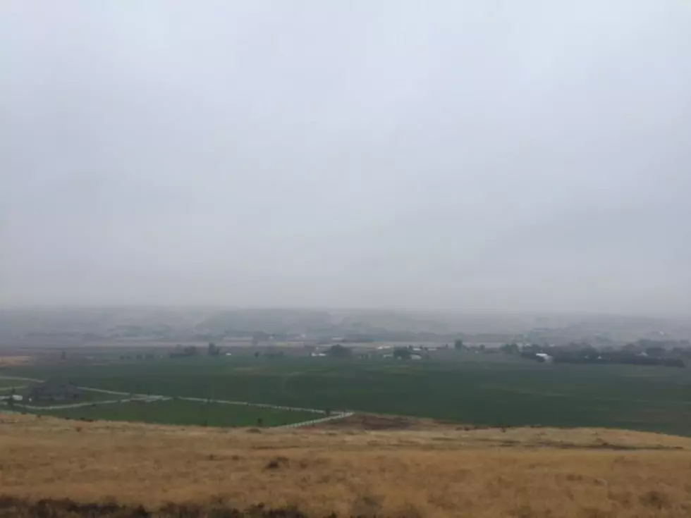
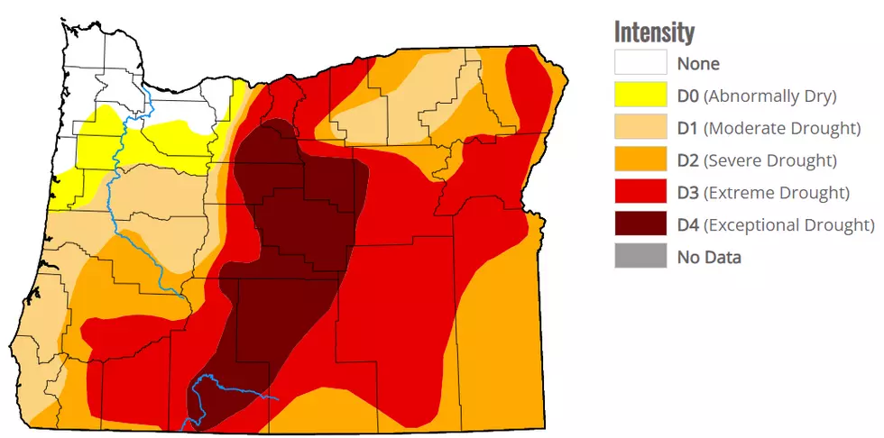
Memorial Day is the unofficial kick off to summer, but with this weather, you'd think we're in the middle of summer. Marilyn Lohmann with the National Weather Service says we've seem temperatures at normal or above for several weeks, which has been good news for germination, but for some areas, it's resulted in dry conditions. Lohmann said precipitation levels have looked good for the NE corners of both Oregon and Washington, with above normal amounts of rain. However that can't be said for the rest of the Northwest.
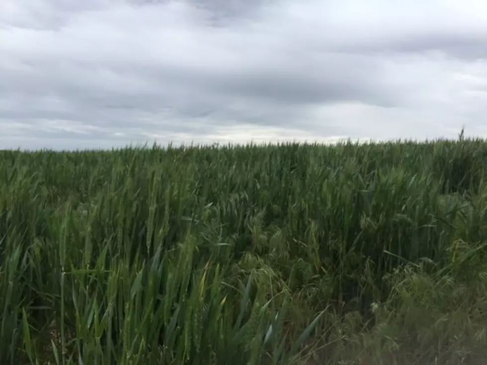
"The rest of Oregon and south central Washington have only had about 50%-70% of normal. And those numbers are kind of being seen in the soil moisture and pasture reports as well, that that very dryness in the central parts of both states is starting to become a bigger issue."
Will these warmer temperatrues stir up the atmosphere, leading to spring storms? Lohmann said while we will see some activity, she does not expected the systems to usher in any rain or thunderstorms.
"We'll have a couple of dry cold fronts go through with the biggest issue with those will be the winds at times. That will make great for haying but not so good for anyone with spray operations. But then, in the coming weeks, the biggest issues will be the lack of rain, as well as temperatures heating up as we move into June."
Lohmann added a warm May does not guarantee a hot summer. But she was quick to note the long term weather forecast does call for above normal temperatures with below normal precipitation in June, July and August.
If you have a story idea for the Washington Ag Network, call (509) 547-1618, or e-mail gvaagen@cherrycreekradio.com
More From PNW Ag Network