Oregon Snowpack Good, Not Great, For This Time Of Year
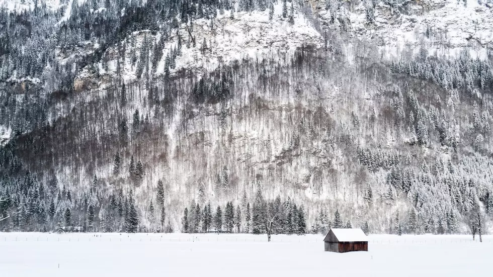
The statewide snowpack in Oregon is currently sitting at 102% of average, but the devil is in the details. Scott Oviatt with NRCS in Oregon said some areas that typically see very little snow have already seen more snow that average, which makes these early numbers deceptive.
As far as the snow totals go basin to basin:
- Grande Ronde, Powder, Burnt, Imnaha – 85% of average
- Umatilla, Walla Walla, Willow – 87% of average
- John Day – 113% of average
- Malheur – 117% of average
- Harney – 117% of average
- Owyhee – 74% of average
- Lake County, Goose Lake – 90% of average
- Klamath – 97% of average
- Upper Deschutes, Crooked – 115% of average
- Hood, Sandy, Lower Deschutes – 108% of average
- Willamette – 110% of average
- Rouge, Umpqua – 93%
Oviatt said while he would like to see more snow in the higher elevations, things this year are in much better shape than last year, where the Northwest saw a very dry November and December. So he’s encouraged as we head into the snowier time of year.
“It’s too soon to tell, but the promising thing is the National Weather Service and the National Oceanic and Atmospheric Association (NOAA) are predicting La Niña conditions, which generally means especially for the northern half of Oregon, wetter, and cooler conditions, with more changes for snow accumulation, so things are looking promising.”
Oviatt added Oregon faces the additional challenge of staring off in the red, thanks to a long-term drought.
“We’re still trying to play catch up in terms of overall precipitation. Our water year precipitation is generally just below the average value 70%, 80%, 90% across the state. If we can continue to receive precipitation, both in terms of low elevation rains and then higher elevation snow that will help us to move away from the drought.”
If you have a story idea for the PNW Ag Network, call (509) 547-1618, or e-mail gvaagen@cherrycreekmedia.com
More From PNW Ag Network
