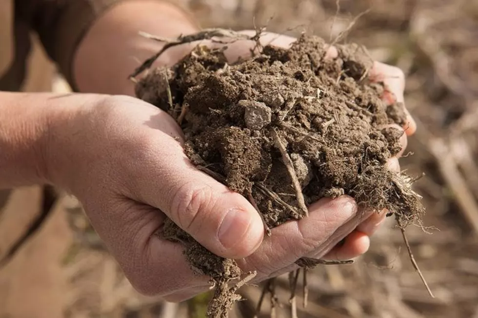
National Soil Survey Making Progress
USDA’s Natural Resources Conservation Service is working on the National Cooperative Soil Survey with federal, state and local leaders.
Paul Reich of NRCS said the first survey was done in the late-1800s, but things have gotten faster now.
“We’re using more remote sensing technologies from satellite and aircraft, high-resolution elevation data from LIDAR satellites to give us more tools to use computer technology to help us understand landscapes and the soil relationships on those landscapes.”
So far, 95 percent of the nation’s counties have been mapped.
Reich said there are several benefits to a variety of people.
“That information is key to helping farmers manager their soils in a sustainable way. A homeowner could be looking at soil information about a piece of property that they’re interested in and they could do an interpretation based on the soils information on limitations on construction of houses with basements because there are certain types of soils where you could not build a basement safely.”
The survey should be complete within the next 10 years.
More From PNW Ag Network