Mild Weather Expected To Continue Into Mid-February
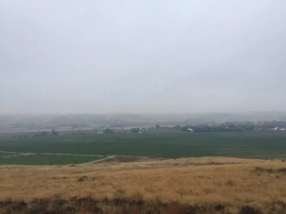
If you’ve enjoyed the above average weather we’ve seen over the past couple of weeks, you’re going to enjoy the weather forecast through early February. The Inland Northwest has seen temperatures roughly 5-10 degrees above average over the psat couple of weeks, thanks to a strong ridge of high pressure. Marilyn Lohmann with the National Weather Service told the Washington Ag Network while systems have hit the northwest, the Cascades have been taking their fair share of snow and winter weather.
“We’re seeing systems go through and they are producing, moderate amounts of rainfall, but with the snow levels so warm and the snow levels high, we’re not seeing the snowpack actually accumulate with a lot of location in Oregon only about 50%-75% of normal.”
While the Washington snow pack is in good shape, the same cannot be said for Oregon, which is dealing with abnormally dry conditions for this time of year. And Lohmann says she does not expect the weather pattern to change through mid-February.
“Above normal temperatures and and below normal precipitation. But then through the rest of February, the Climate Prediction Center is expecting for near to below normal temperatures and near normal precipitation.”
If you have a story idea for the Washington Ag Network, call (509) 547-1618, or e-mail gvaagen@cherrycreekradio.com
More From PNW Ag Network