Lohmann System Frequency Expected To Increase In Coming Days
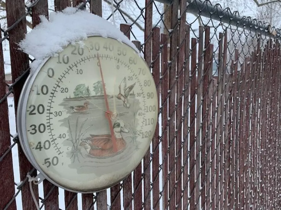
With Christmas fast approaching many across the Inland Northwest are wondering if we’ll see a White Christmas. While it’s still too early to tell, it looks like it’s going to get wet in the next couple of days. Marilyn Lohmann with the National Weather Service said the weather pattern will become very active.
“Storms are expected to move through every 36 hours, with rain amounts around ¼” to 2/3”. Along with the moisture, it will be breezy to windy at times, and this should allow the inversions to get scrubbed out.”
Lohmann says temperatures in the lower elevations are expected to be slightly above normal. But as you climb up in elevation, it should remain cool enough for snow.
“The storms are expected to bring at least 1’-2’ of snow to the mountain, which should bolster the low snowpack currently in place.”
Some portions of North Central Washington saw a few inches of snow Tuesday, but with warming temperatures, it doesn’t look like that snow will stay long. As for the next couple of weeks, Lohmann says we’ll see above normal precipitation and above normal temperatures through Christmas.
If you have a story idea for the Washington Ag Network, call (509) 547-1618, or e-mail gvaagen@cherrycreekradio.com
More From PNW Ag Network