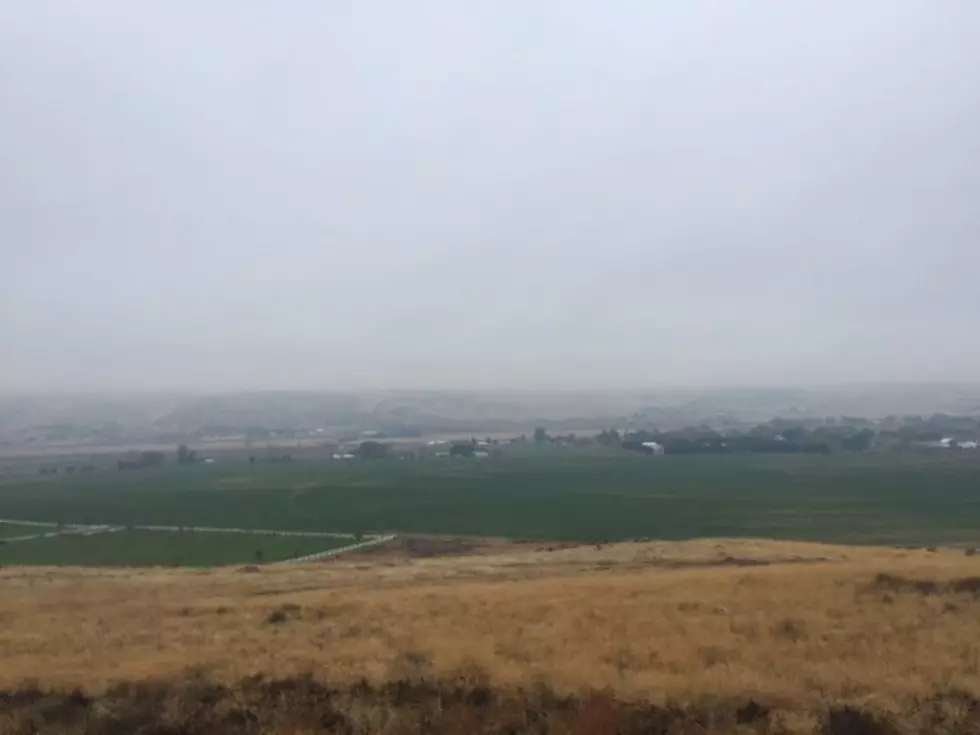
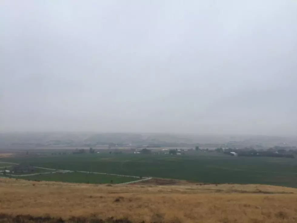
Cooler Weather Expected To Kick Off August
After several days with temperatures near or above the century mark, many across the Inland Northwest would like to see a drop in temperatures. It appears that you will get your wish. According to Marilyn Lohman with the National Weather Service, the area of high pressure that’s allows temperatures to rocket up over the past week will shift to the east, kicking off a significant pattern change.
“We’ll see a series of systems move along the Canadian border, through the week, bringing much cooler air in, with temperatures by the end of the week, in the upper 70s and mid 80s and those will continue through the weekend.”
Lohmann says we typically see the weather start to slowly cool down in August. She says much of that is due to the loss of daylight, which will occur at 1-2 minutes per day. Lohmann says that will have a big impact in a short amount of time.
“In fact, over this coming week, will probably see some much cooler nights, with overnight lows in the 50s to lower 60s, and some of those normal cooler locations may actually see some 40s.”
While we could see several hot days throughout August, and into September, Lohmann says hot streaks should not last as long as what we’ve recently experienced.
If you have a story idea for the Washington Ag Network, call (509) 547-1618, or e-mail gvaagen@cherrycreekradio.com
More From PNW Ag Network