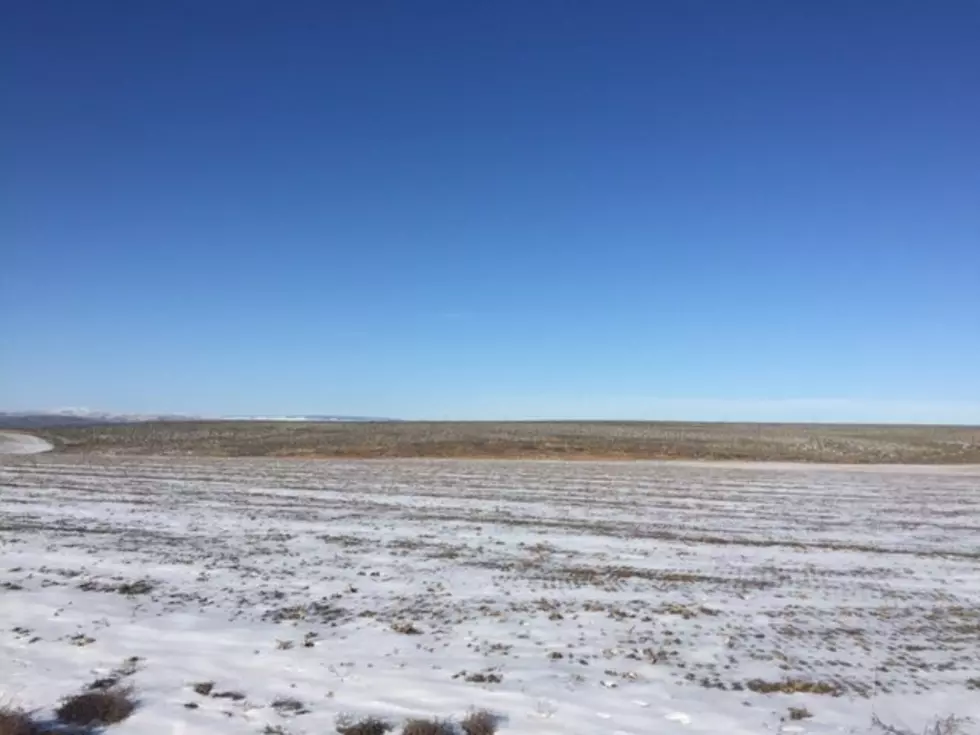

Systems Expected To Bring Showers For Thanksgiving
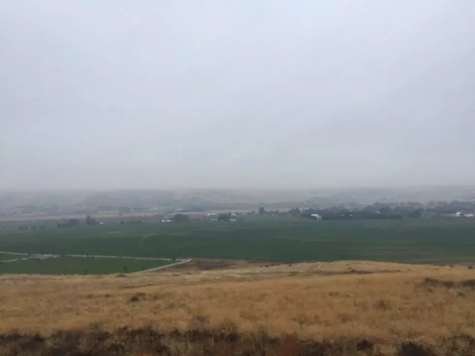
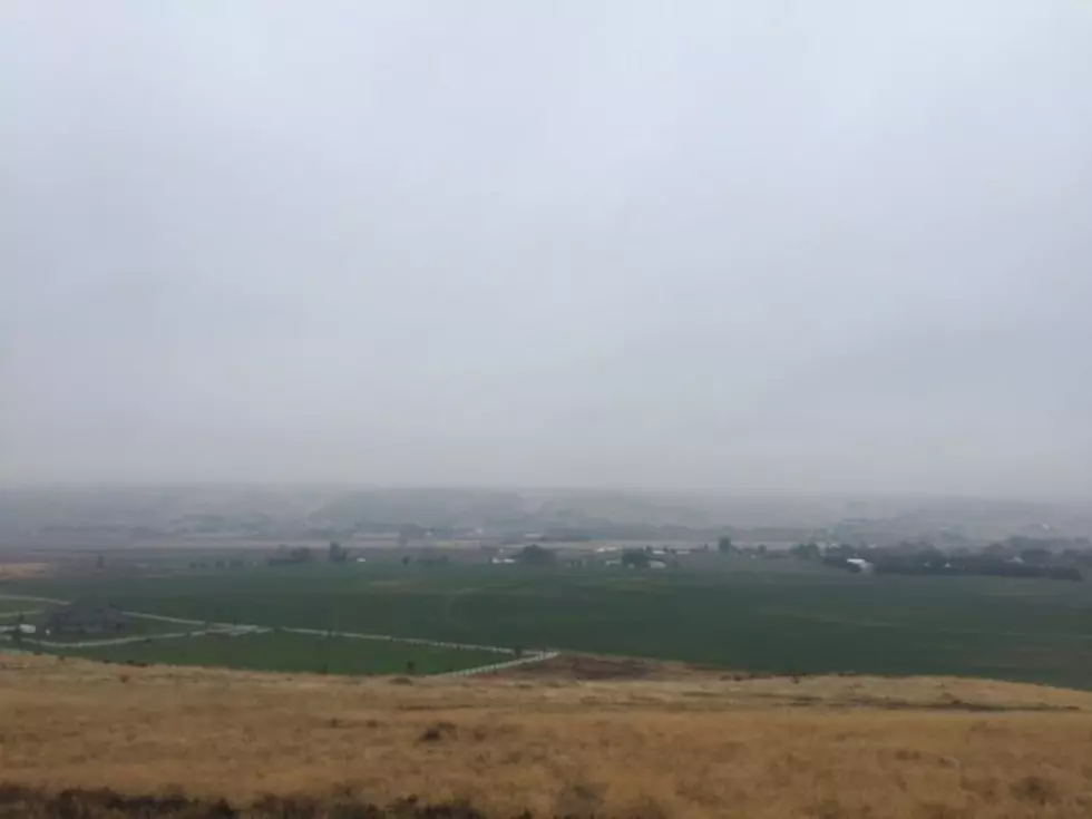
The Northwest is socked in the middle of a dry, cold November weather pattern, but that’s expected to change in the coming days. Marilyn Lohmann, meteorologist with the National Weather Service said the Northwest has been dominated by a ridge of high pressure, which has prevented systems from rolling across the area, leading to dry conditions. But it’s also generated foggy conditions for the lower Columbia Basin. But, Lohmann says that will change just in time for your holiday.
“We are expecting a much stronger series of systems to start moving into the area starting on Wednesday. And these should keep the fog mixed out, and give us a break from that, as well as bring some much needed precipitation to the area.”
Some areas could see as much as ¼” to ½” of rain out of these upcoming systems. Lohmann added these systems could be very good for area ski hills looking to open over the holiday weekend.
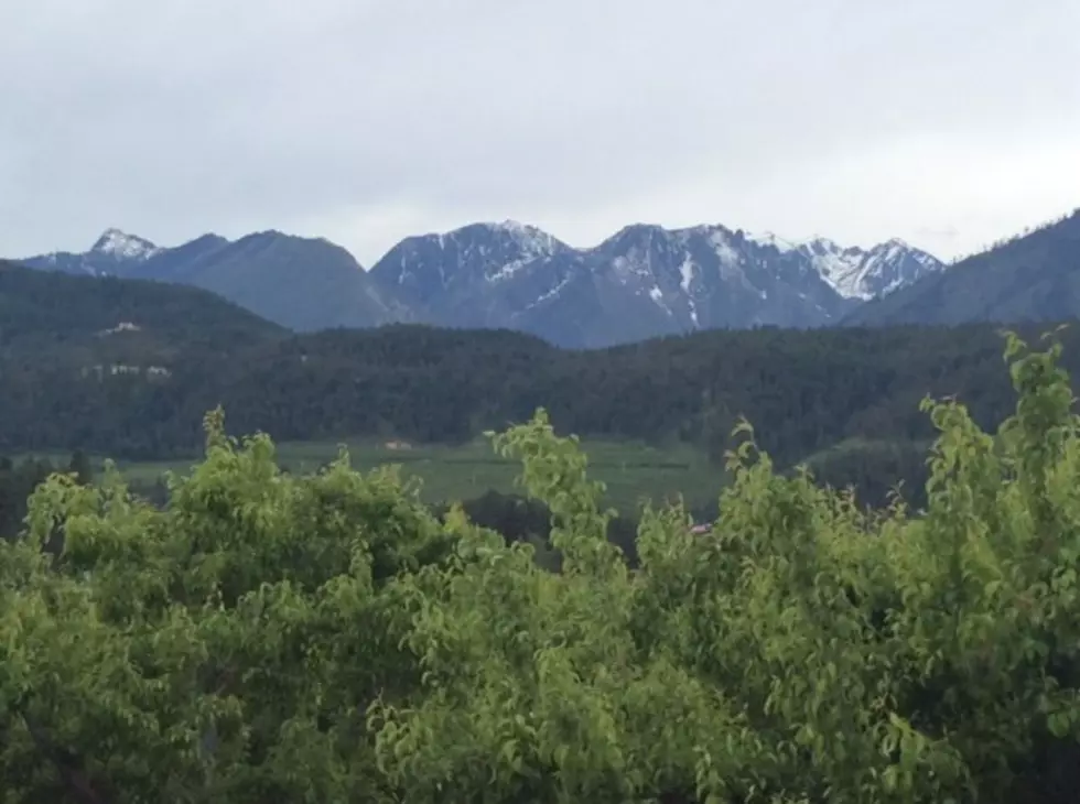
“The system moving in on Wednesday and Thursday will bring snow to the mountains, and we are expecting to see those snow levels go down to about 2,000’ to 3,000’, so that will cover most of the region. And we are expecting 1’-2’ in the higher terrain over the weekend.”
Marilynn said as we look to the final week of November, and into early December, the region should experience above average temperatures and normal precipitation.
If you have a story idea for the Washington Ag Network, call (509) 547-1618, or e-mail gvaagen@cherrycreekradio.com
More From PNW Ag Network