Snowpack Levels Saved by Weekend Storm
Late last week, snowpack levels had dipped to levels that were concerning for Scott Pattee, Water Supply Specialist for NRCS.
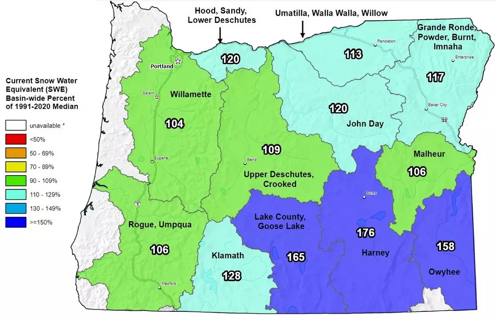
“By golly that storm hit and it was really a godsend and really picked up a lot of snow in the Cascades but also pretty much everywhere in the state and brought us back up mostly in the green which is above 90 percent of normal.”
Pattee said snowpack levels were particularly concerning on the east side of the Cascades.
One of the biggest problems according to Pattee is that the mountains are not getting any more snow than the lowlands including during Wednesday’s storm which saw the mountains getting the same amount of snow as everywhere else.
Pattee said the big weekend snow, and to a lesser extent Wednesday’s snow should put the snowpack level and water supplies to a more comfortable level for 2017.
“By the middle of February we really want to be where we need to be for water supply and then for the rest of the month and into March we just have maintenance snow in the mountains.”
The one thing Pattee hasn’t worried about this winter has been snow density which he says is average to above average in Eastern Washington.
If you have a story idea for the Washington Ag Network, call (509) 547-1618, or e-mail krounce@cherrycreekradio.com.
More From PNW Ag Network


