Rain Showers Expected To Move On, Dry Conditions Return
Most of the Inland Northwest saw rain showers late Monday and into early Tuesday. For some locations, especially higher elevations and those near mountains, they saw their monthly after of rain in just a few days. However, it looks like those showers have moved on to the east, and dry conditions will return.
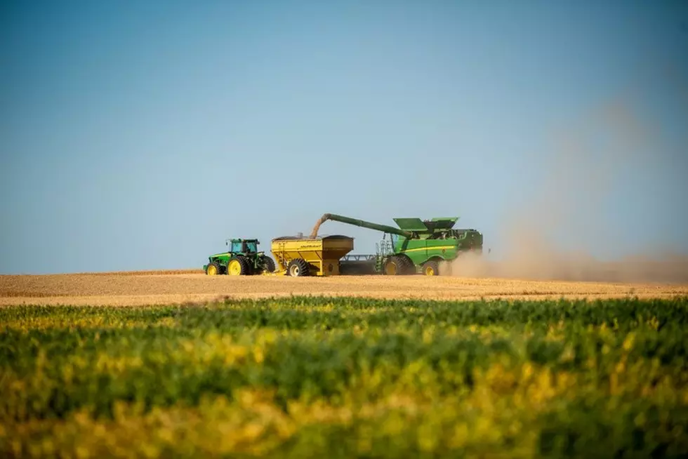
“With high pressure building in over the next seven to ten days, with that dryness, it will help with that late season harvests and the kind of stuff we interrupted with these rainstorms,” Marilyn Lohmann with the National Weather Service.
Lohmann noted that some areas, especially where heavy amounts of rain fell, fields, and even farm roads could be muddy, slowing work over the next couple of days.
As we look to the rest of October, Lohmann says we are in the early phases of El Niño. She said right now, the waters in the Pacific are just above warmth neutral, but that water is expected to warm as we draw closer to winter.
“And generally for the Northwest, we see a little bit milder conditions and a bit dryer. But we can’t totally rule out having any moisture at all. That’s not the case. We will see some moisture at times, but as we look at the winter as an overall, we are expecting a little bit dryer than normal and a little bit warmer than normal.”
If you have a story idea for the Washington Ag Network, call (509) 547-1618, or e-mail gvaagen@cherrycreekradio.com
More From PNW Ag Network