NWS: Next Chance of Snow Comes Christmas Night
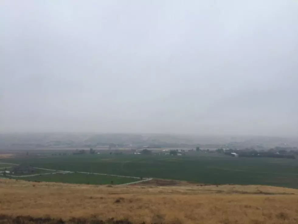
Kids across the Inland Northwest maybe dreaming of a White Christmas. But according to the National Weather Service, that looks very unlikely. Thanks to warm systems rolling in from the Pacific, temperatures much of this week have been well above average. NWS meteorologist Dennis Hull told the Washington Ag Network says this recent warm has pushed soil temperatures higher in just a few days.
“We were down in to the 20s to around 30 for about ten days, and although the soils didn’t freeze up they were cold enough to kind of stop any of the growing of the winter wheat and pastures. Two or three days earlier this week where we had temperatures moderating quite a bit thawed out those soils.”
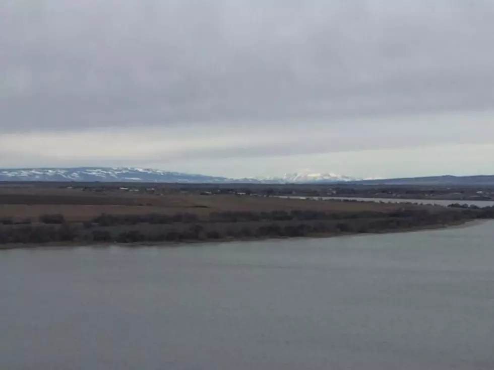
Hull said he believes soils will get cold again in the not too distant future, and freeze maybe down 4” in to the middle part of next week. Hull added an artic system will roll into the area Friday, changing rain showers to snow.
“We could have a mixture of winter type precipitation, frozen precipitation at least to start with Monday night into Tuesday. So, that might affect farm to market travel or any delivery of fuel or feed supplies starting the early part of next week.”
Expects weather pattern to remain active next week, with temperatures at or below normal for the final week of 2017. By the way Thursday is the first day of winter.
If you have a story idea for the Washington Ag Network, call (509) 547-1618, or e-mail gvaagen@cherrycreekradio.com
More From PNW Ag Network