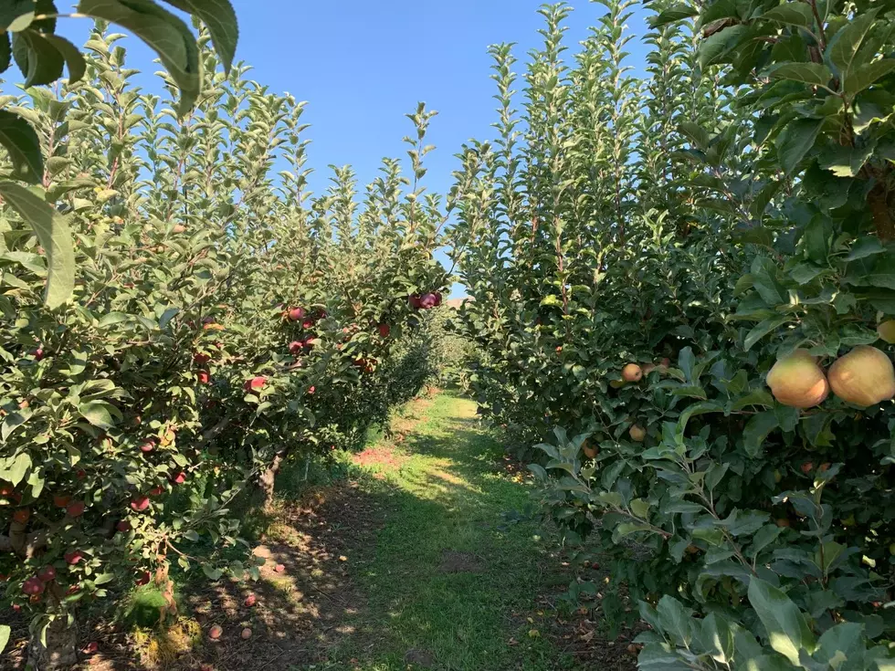
Frost Possible Across Inland Northwest This Weekend
After several days of near record heat, Central and Eastern Washington returned to more seasonable weather Tuesday and Wednesday with clouds, showers and cooler temperatures rolling in from the Pacific. National Weather Service meteorologist Dennis Hull said this system will stick with the area through Thursday, but should clear out for the weekend.
“Light frost in some areas, Friday and Saturday morning as these clouds clear out of here, and the winds get lighter, so lower to mid 30s in some of the frost prone areas.”
Hull added last week’s warm weather pushed soil temperatures into the up 50s, and lower 60s. But with cooler weather in the next 72 hours, those soil temps are expected to drop. With warmer weather expected early next week, Hull said he expect soil temperatures to rebound Monday and Tuesday.
Listen to our conversation with Hull:
If you have a story idea for the Washington Ag Network, call (590) 547-1618, or e-mail gvaagen@cherrycreekradio.com
More From PNW Ag Network