Cooler Cloudier Weather Expected For Final Week of Winter
This is the final week of winter. So, how will we usher in Spring on Tuesday? According to Marilyn Lohmann with the National Weather Services, the Northwest will see cooler and unsettled weather the rest of this week into next.
“Greatest precipitation chances will be a long the frontal boundary that should move through by Wednesday and another system on Saturday, with some precipitation amounts from around ¼” to ½”.”
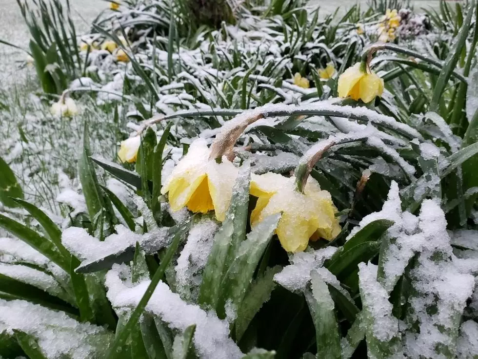
Lohman said the recent mild temperatures the rejoin has enjoyed, led to warmer soil temperatures, climbing anywhere from three to seven degrees. Lohman noted despite the temperatures near normal, we’ll still need to watch for pocket of frost and freezing temperatures for several more weeks.
“For a lot of the locations in the Columbia Basin, the date of the last freezing temperature is mid-to-late April, and that stretches into May as you go north with some locations, it’s after Mother’s Day weekend when we feel comfortable putting out tomato plants out.”
As far as the rest of March is Concerned, Lohmann said we’ll see blow normal temperatures over the next two weeks, with average precipitation levels.
If you have a story idea for the Washington Ag Network, call (509) 547-1618, or e-mail gvaagen@cherrycreekradio.com
More From PNW Ag Network