Cold Weather Expected To Replace Snow Showers
The region started the workweek with snow showers, and now it looks like we’ll wrap up the week with single digit temperatures. Marilyn Lohmann with the National Weather Service said Monday’s storm was a perfect combination of moist air along the Oregon and cold air from Canada. But she noted, the amount of snow fall varied community to community.
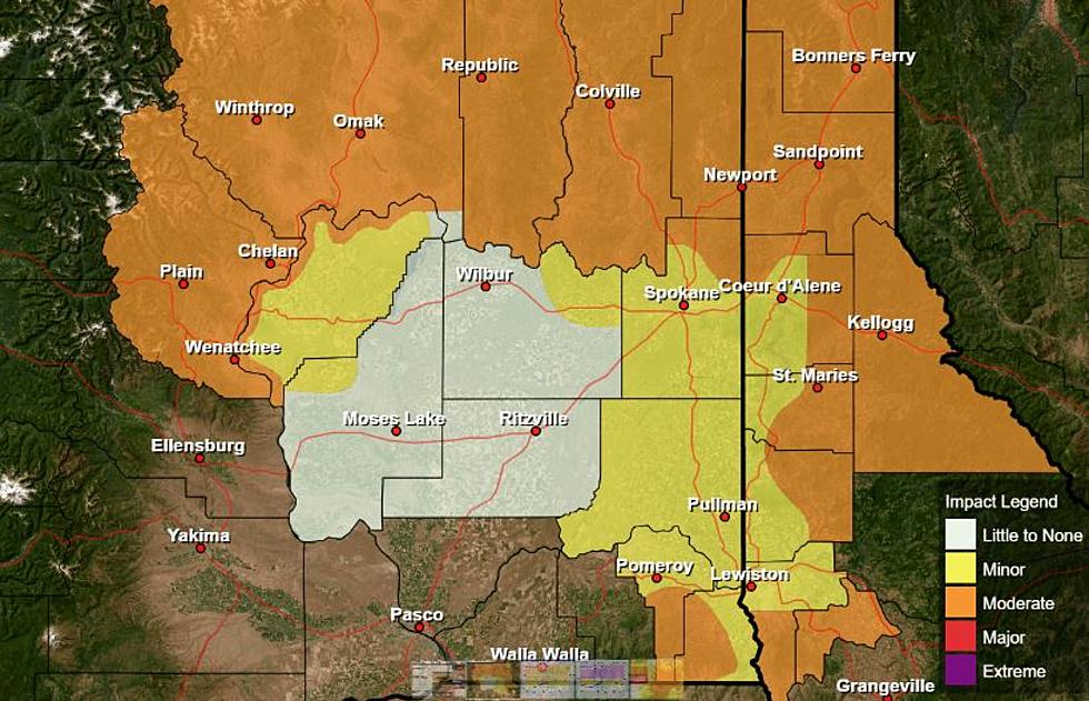
“In the Yakima area, they had 9”-13”, while just north over the hill in Wenatchee, they barely got an inch or two. Across the Tri-Cities/Pendleton area the lower Columbia Basin, we saw 3”-4”, with some areas seeing 6”of snow. And with those really strong winds, there was a lot of blowing and drifting as well.”
Lohmann added a lot of people were surprised to see this winter storm after Groundhogs day. But she said winter blasts this time of year should come as no surprise.
“Meteorological winter runs December, January and February, so we’re still thinking winter. But, outside of that big snow year of 2016-17, Februarys have been more on the mild side for the past couple of years.”
Lohmann said the active weather will continue off and on through the end of the week, and temperatures are going to drop considerably.
If you have a story idea for the Washington Ag Network, call (509) 547-1618, or e-mail gvaagen@cherrycreekradio.com
More From PNW Ag Network


