Second Day With Flood Watch, Then Hot, Dry In Wenatchee
There's a Flood Watch for the second day in a row from 1-9pm in the Wenatchee area and parts of North Central Washington.
National Weather Service meteorologist Ken Daniel says there's still ample moisture over the region with one specific worry.
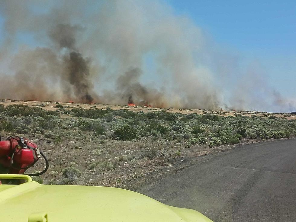
"Our primary concern is the burn scars over Chelan and Okanogan counties," said Daniel. "Not that flash flooding is impossible outside of those areas. But that's where our main focus is lying for again today."
The burn scars were left from previous wildfires burning in the region. Storm water will rapidly travel over burn scars down slopes instead being absorbed into land with existing vegetation.
There were dark clouds hovering east of the Wenatchee Valley Monday evening which failed to produce any precipitation
There'll be a smaller chance for major rainfall tomorrow.
Meanwhile, from Thursday moving forward, it'll be hot and dry through the Fourth of July Holiday.
Daniel says wind will not be a major issue, however.
"Ya know, winds will be breezy locally, certainly something we're going to watch over the coming days," Daniel said. "Bu it's not looking necessarily like a widespread high wind event."
There'll be a chance for wildfires, even without heavy wind.
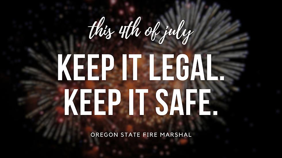
The Weather Service is advising people to be careful with fireworks and other actions when it's especially hot and dry.
More From PNW Ag Network