First “Triple-Dip” La Niña in This Century
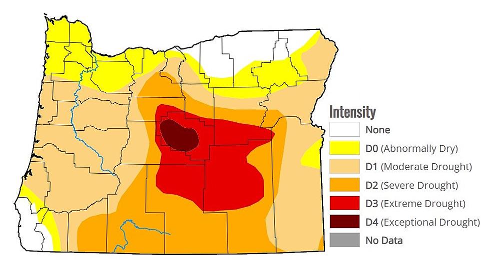
The World Meteorological Association says the La Niña weather pattern will last through the end of 2022. That’s the first time this century it will have lasted for three consecutive winters in the northern hemisphere. La Niña conditions in the tropical regions of the Pacific Ocean strengthened as trade winds intensified between July and August. The conditions are affecting temperatures and precipitation patterns and making drought conditions and flooding in different parts of the world much worse.
The current WMO forecast shows the current La Niña, which began in September 2020 and continuing during the next six months. La Niña refers to the cooling of ocean surface temperatures coupled with winds and rainfall. It almost always has the opposite effect of El Nino, which is the warm phase of the so-called El Nino Southern Oscillation.
The WMO said it is “exceptional” to have three consecutive years with a La Niña weather pattern.
If you have a story idea for the PNW Ag Network, call (509) 547-1618, or e-mail glenn.vaagen@townsquaremedia.com
More From PNW Ag Network


